Beautiful walks in our parish
The Countryside Code
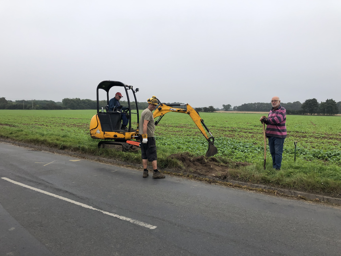
The Parish Council takes looking after the footpaths seriously, with a councillor dedicated to monitoring their maintenance and ensuring that they are safe for everyone to enjoy.
All we ask is that everyone who enjoys our beautiful surroundings does so within the guidelines of the Countryside Code. By clicking the appropriate button on the right, you can either view the code on-line or download the 4Mb PDF document.
If you’d like to know more about how you can help us to maintain our walkways and woodland, or if you’d like to report an issue with one of our walkways, please let us know.
North
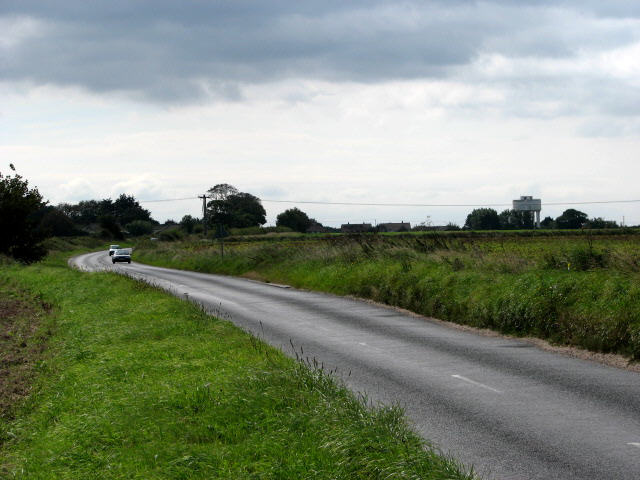
Walk the Walks
Click on the maps to explore the beautiful walks and footpaths to the north and south of our village, including;
- The Butterfly Walk & Knapton Way
- Paston Way
- the twelve numbered footpaths
- plus the Norfolk Coast Path about a mile away
South
A Permissive (or concessionary) path
A path where the landowner gives permission for public use but with the intention that it does not become a Public Right of Way. A landowner can give also give permission for additional use (such as horses on a public footpath) but this only extends to people given specific permission.
Permissive paths are not maintained by Norfolk County Council.

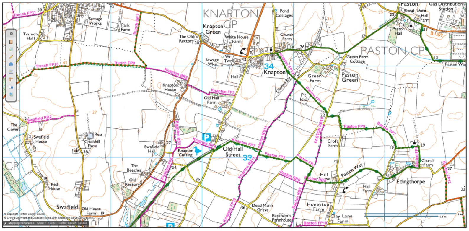
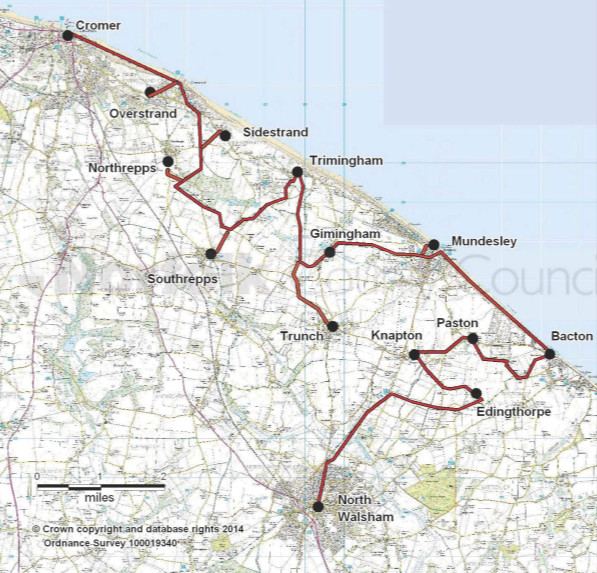
Knapton’s Twelve Footpaths
The first three of our numbered footpaths are in the northern part of the parish, heading out towards Trunch and Mundesley.
Our first footpath starts in our parish and heads north to end in Mundesley parish
Our second footpath runs across fields and over stiles, starting in Hall Road, near MADRA, and finishing up at the North Walsham Road, at Knapton House.
Known as Robinsons Loke, our third footpath starts on North Walsham Road, just north of Knapton House (close to the end of FP2) and heads towards Trunch.
The other nine footpaths effectively make up the Knapton Way, a circular walk around the parish of around 5 miles.
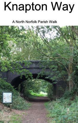
Knapton Way
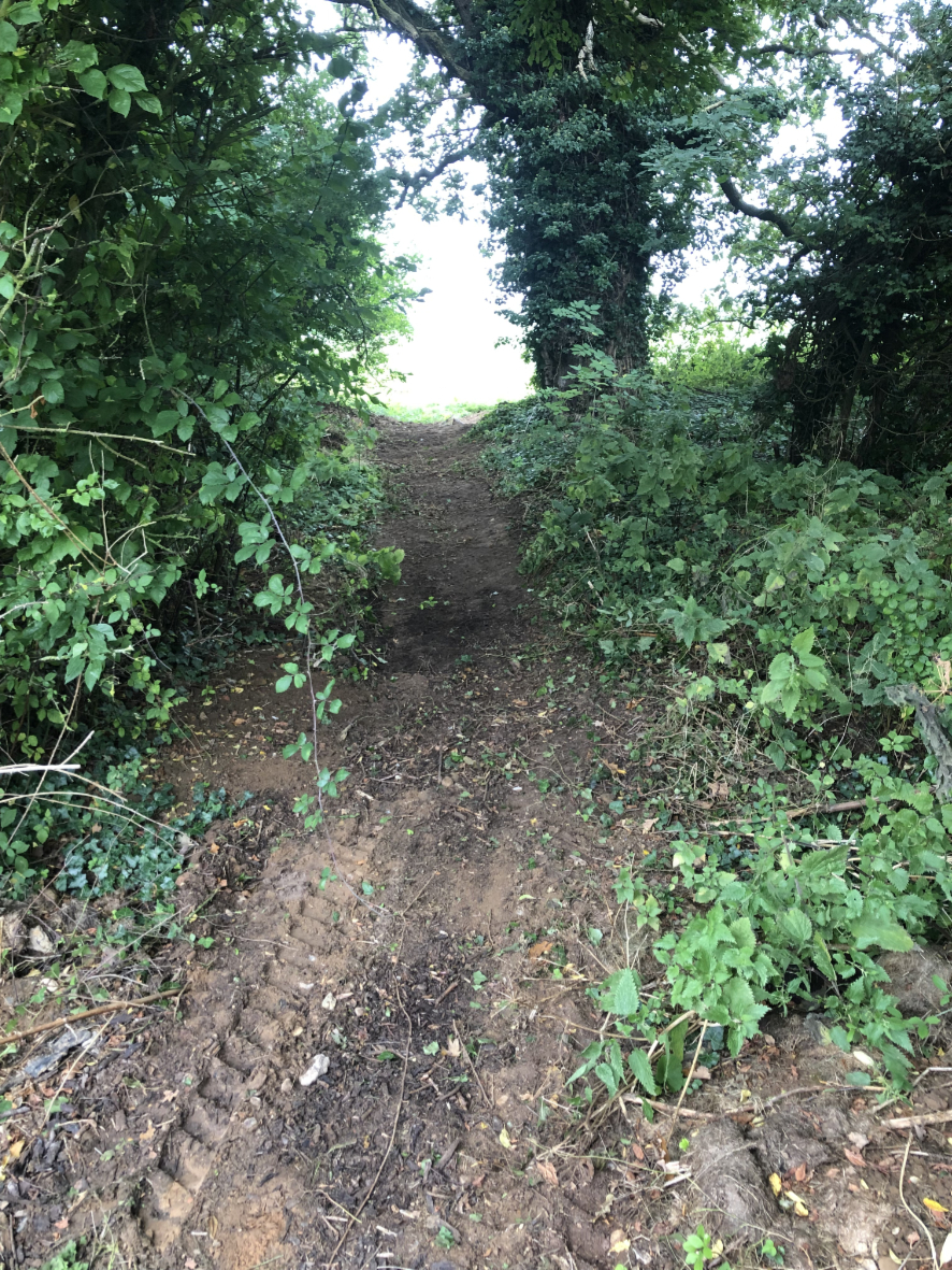
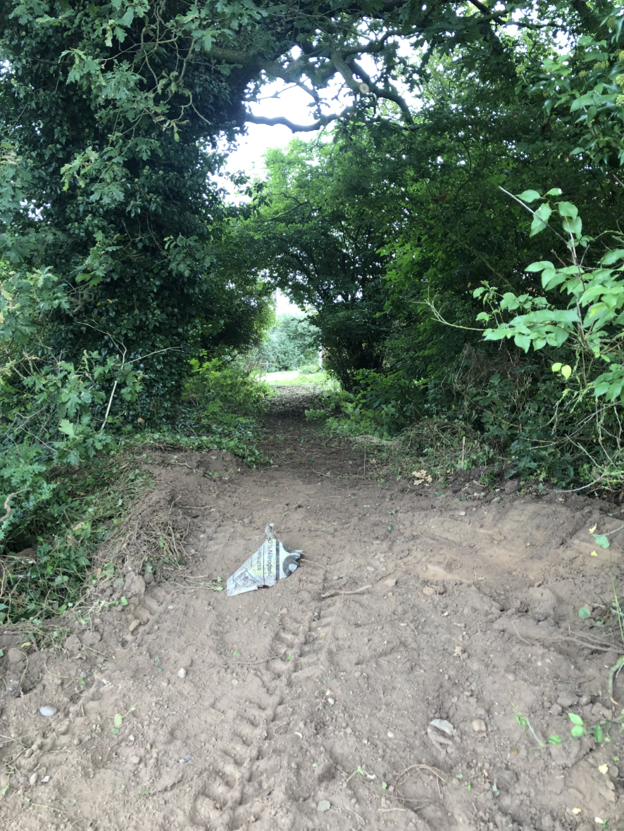
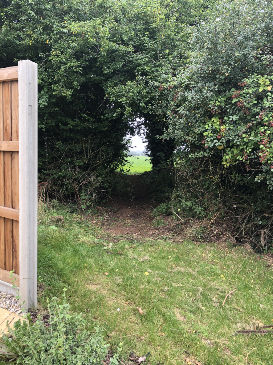
The Knapton Way is a circular walk of approximately 5 miles within the parish boundaries and generally follows public rights of way and “quiet lanes”, minor rural roads. The directions are based on starting the walk at the car park at the head of the Knapton Cutting in Hall Lane. This first section of around 1000m is also known to locals as The Butterfly Walk, see below.
To follow the Knapton Way, you can download written directions by clicking the page on the left, or you can download the route map by clicking the image on the right. If you’re not familiar with the area you might want to download both, just to be sure…
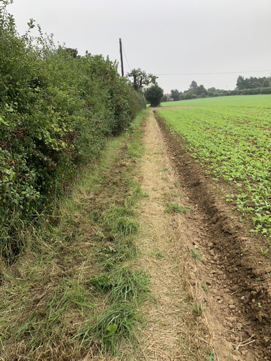
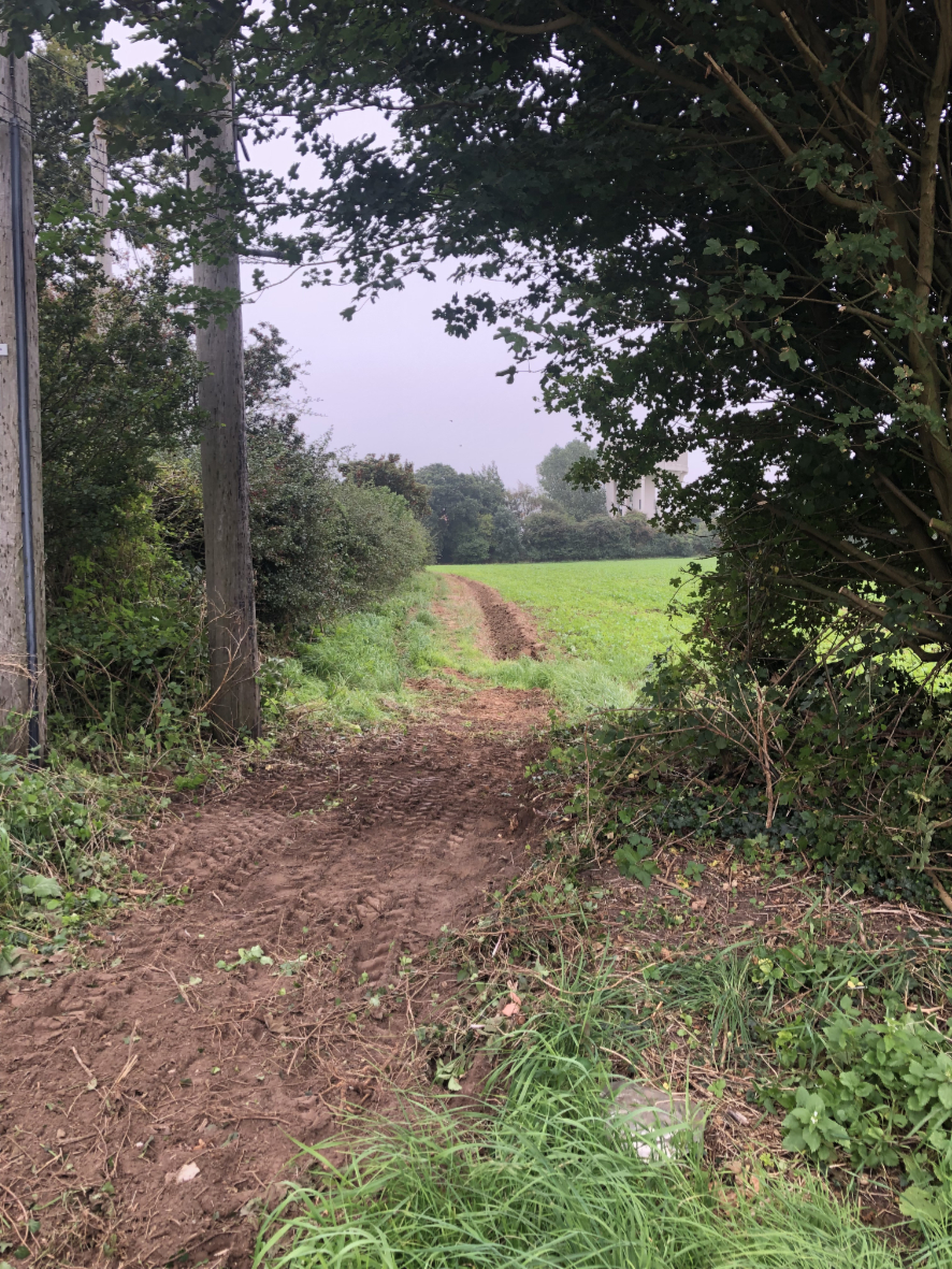
Also remember that certain sections are occasionally muddy and overgrown so suitable clothing and footwear is recommended.

The Butterfly Walk
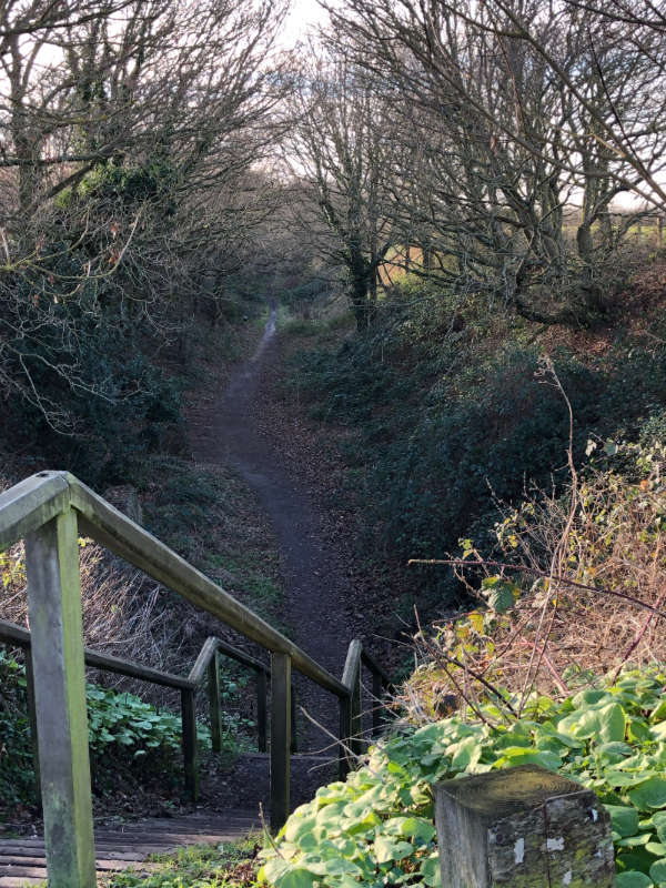
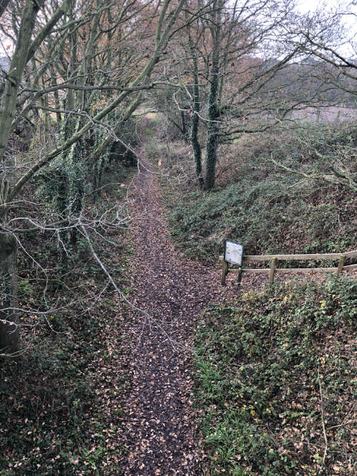
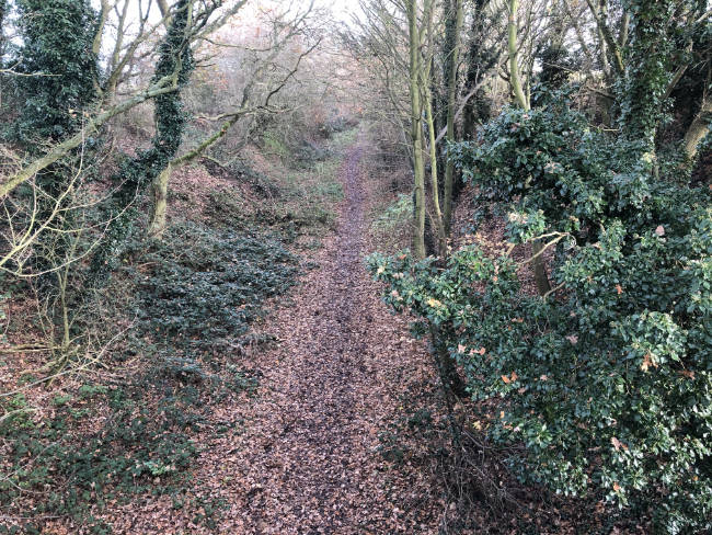
The Knapton Cutting Butterfly Nature Reserve, known locally as the Butterfly Walk, follows the picturesque path of the old railway track from North Walsham to Mundesley which was closed in 1964. It’s now a public walkway and forms part of both the Knapton Way and the Paston Way footpaths.
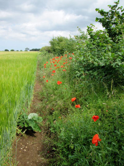
The butterfly reserve (the first section you enter, down the steps from the car park) is full of of wild flowers, scrub and undisturbed grassy banks, which make it an ideal habitat for butterflies with nineteen different species having been recorded.
There’s a diversity of flowering species such as black knapweed, yarrow, sheep’s sorrel, primrose, oxeye daisy and hoary cinquefoil. There is also the Small-Flowered Catchfly, which is classified as endangered in the United Kingdom. You can click the button on the left to learn more.
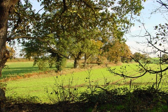
Further along, the main body of the railway cutting is dominated by young oak woodland and the old railway bed supports primroses, wood avens, herb Robert and lords-and-ladies.
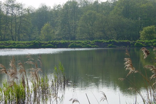
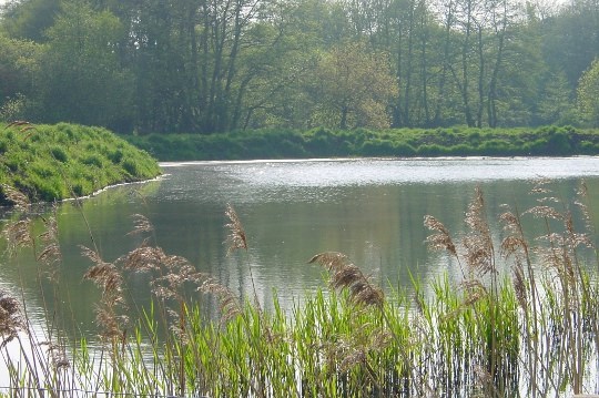
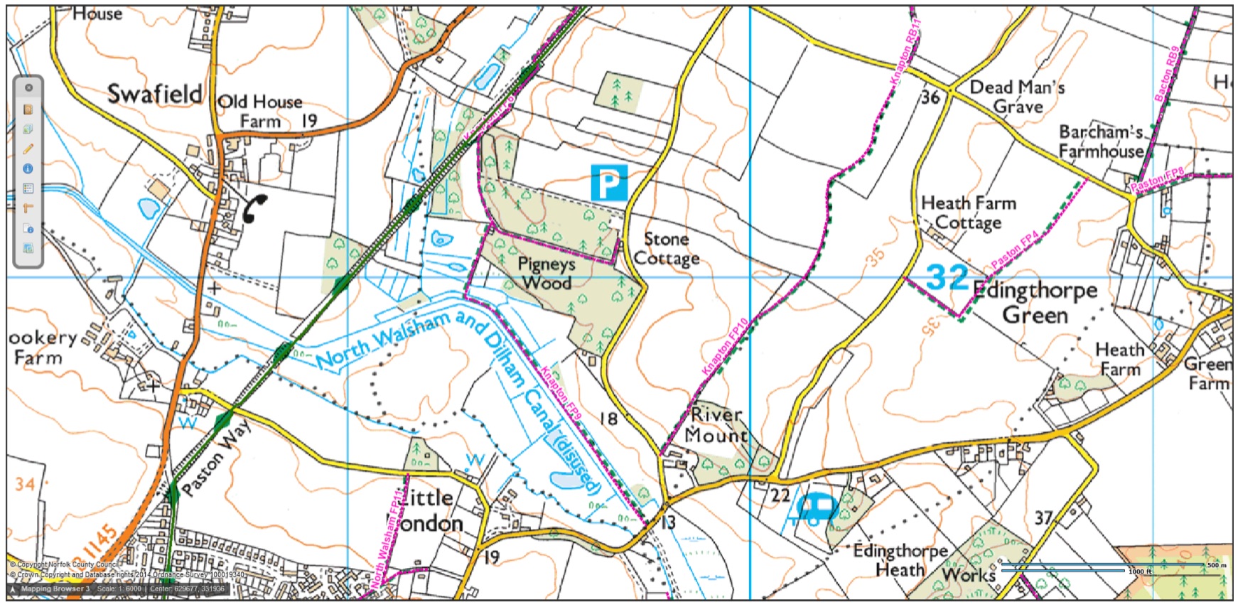
Along the cutting, which continues over the Dilham canal, there are also areas on each side of deciduous and wet woodland. Here you can find tree species such aspen, birch, hazel, sycamore, holly and in places mature oak and alder. Woodland to the east is bordered by Pigney’s Wood community woodland.
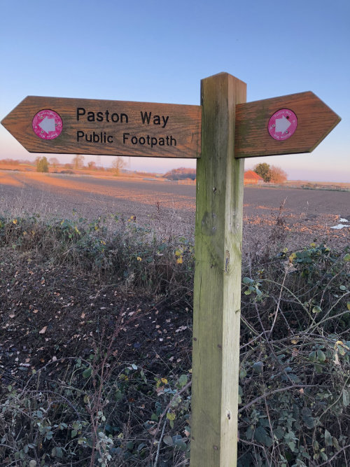
Paston Way
The Paston Way is a twenty two mile trail with Cromer at its northwestern end, where it links with The Norfolk Coast Path and Weaver’s Way, and North Walsham at it south eastern end where it again joins with Weaver’s Way. Walkers discover the area’s beautiful medieval churches, each one with its own hidden history including one which was even moved brick by brick from a cliff top to save it from the sea.
The route makes use of footpaths, bridleways, beaches, a disused railway line, quiet lanes and some minor roads.
En-route from Edingthorpe, it stops to pay special attention to Knapton’s St Peter & St Pauls church, before winding its way to Paston and then joining the Norfolk Coastal Path at Bacton heading for Cromer.
The path takes its name from the Paston Family, made famous by the “Paston Letters”
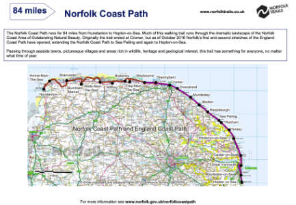
Norfolk Coast Path
Wheelchair Access
The Norfolk Coast Path runs for 84 miles from Hunstanton in west Norfolk round to Sea Palling on the north east Norfolk coast with much of this walking trail running through the dramatic landscape of the Norfolk Coast Area of Outstanding Natural Beauty. Through seaside towns and villages, tidal marshes teeming with wildlife, wide sandy beaches, pine woodlands and huge skies.
The original Norfolk Coast Path combines with the Peddars Way (which it joins at Holme-next-the-Sea) to form the Peddars Way and Norfolk Coast Path National Trail, one of 15 National Trails in England and Wales.
It also connects with Weaver’s Way at Cromer and Paston Way at Cromer, Trimingham, Bacton and Mundesley
Knapton’s Parish Woodland
Pigneys Wood
This beautiful site is actually within the Parish of Knapton.
The 23.5 hectares (58 acres) of land at Pigneys Wood was purchased in 1993 by the North Norfolk Community Woodland Trust (NNCWT, a community based conservation charity) and it has been managed by them for the past 24 years. NNCWT successfully reverted the site from arable land to woodland by planting over 20,000 trees of 40 different species during this time as well as restoring important wetland areas and improving the access and interpretation of the site for local people by providing guided trails.
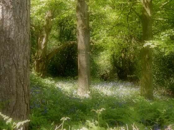
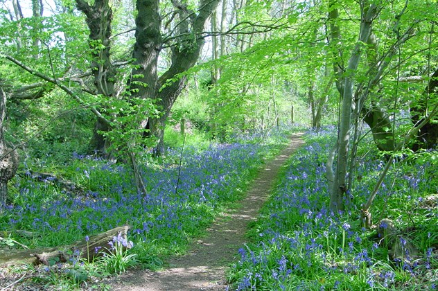
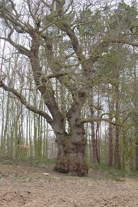
The site has a number of special wildlife features including an impressive 450-year-old ancient oak tree ‘The Old Oak’ which is next to a small woodland area which boasts a carpet of bluebells in spring.
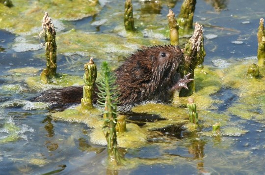
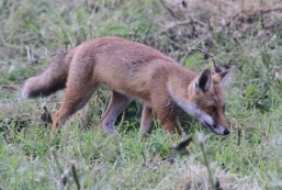
Pigneys Wood provides an important wildlife refuge for many birds such as the goldcrest, nuthatch, Cetti’s Warbler; insects such as red admiral, peacock and holly blue butterflies; dragonflies such as the emperor, migrant hawker, blacktailed skimmer and Norfolk hawker, and mammals such as otter, water vole and badger. Occasionally rarer visitors have been recorded such as a Camberwell beauty butterfly in November 2011 and a bittern in March 2013.
In September 2017, Pigneys Wood was entrusted to Norfolk Wildlife Trust to continue the conservation management of this wildlife-rich nature reserve. NWT aims to build on NNCWT’s work by further enhancing the range of habitats present as well as improving the visitor experience to encourage more people to enjoy the wildlife on this special site.
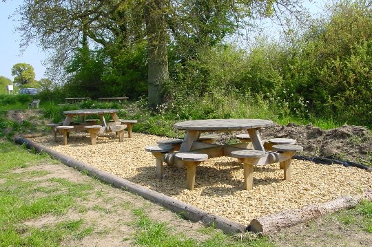
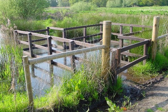
Other features at the site include a renovated barn, reed beds, and information boards on wild flowers, butterflies, trees and birds. There is provision for wheelchair access and a number of areas where you can simply sit and enjoy the view or, if you wish, have a picnic with the family.